Revolutionizing Global Mapping: Meet AlphaEarth Foundations
Ever tried planning a road trip with outdated maps? It’s frustrating! Now, imagine that struggle multiplied on a global scale—monitoring our planet, understanding ecosystems, and tackling climate issues all hinge on precise, updated data. Enter AlphaEarth Foundations, a groundbreaking AI model that’s changing the game in Earth observation and mapping.
What’s the Deal with AlphaEarth Foundations?
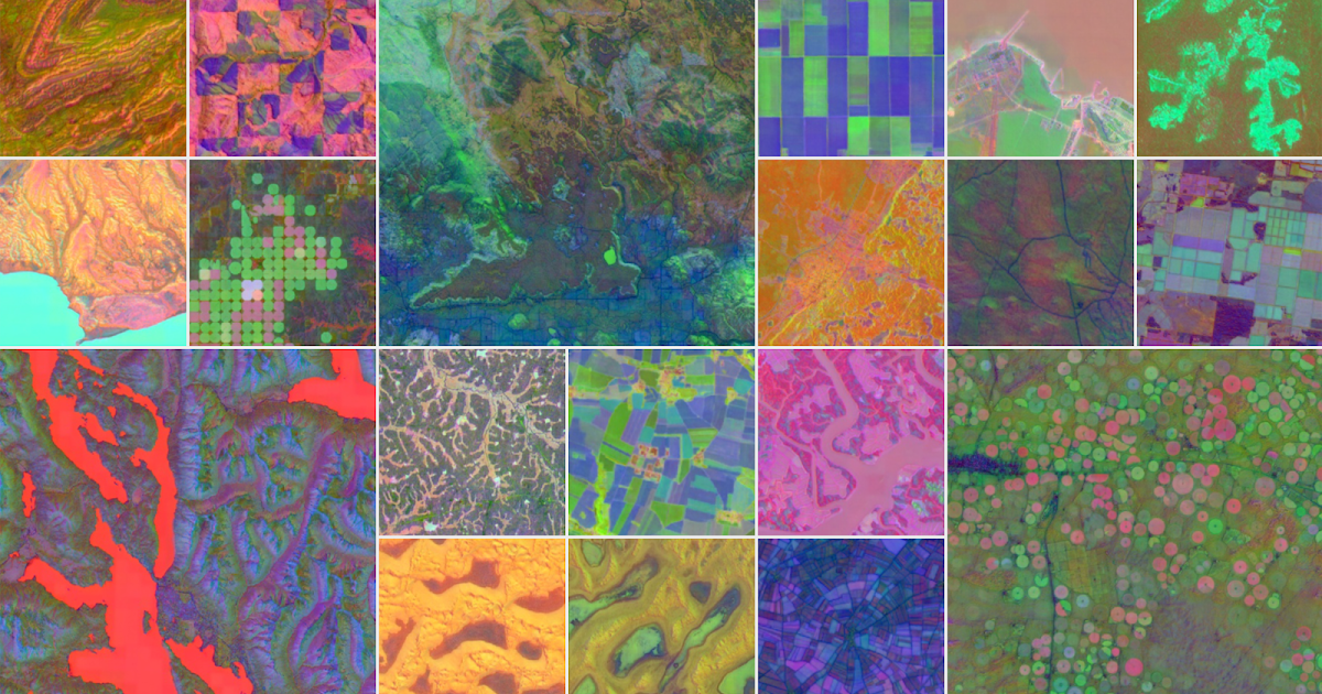
Here’s the scoop: every day, satellites orbiting the Earth capture massive amounts of data—images and measurements that could take years to decode. This data is packed with insights, but it’s like a jigsaw puzzle with missing pieces. The challenge? Connecting all these diverse datasets into something coherent and usable. Thankfully, AlphaEarth Foundations is here to bridge that gap.
By integrating petabytes of Earth observation data, this AI model creates a unified, concise representation of our planet. Think of it as a virtual satellite—one that helps scientists get a clearer, more consistent view of issues like food security, deforestation, and urban sprawl. Talk about crucial insights!
How It Works: A Technology Marvel
Imagine you’re trying to sort through a mountain of paperwork to find that one important document. It’s overwhelming, right? Well, AlphaEarth Foundations tackles a similar problem but on a colossal scale.
-
Combining Data Sources:
This AI model merges diverse info sources—from satellite images to radar and climate simulations—into digestible, actionable chunks. It condenses this data to track our planet’s changes with pinpoint accuracy. -
Storage Efficiency:
Here’s a kicker: AlphaEarth’s summaries need 16 times less storage than competing models. Yes, you read that right! This means research teams can operate without breaking the bank.
Why does this matter? It allows scientists to create detailed maps, monitor crop health, and even catch new construction—all without waiting for a single satellite to fly overhead.
Real-World Applications: Making a Difference
Speaking of practical uses, AlphaEarth Foundations is already gaining traction with organizations worldwide. For instance, groups like the Food and Agriculture Organization and Harvard Forest are tapping into the Satellite Embedding dataset to generate useful maps.
In Brazil, the initiative MapBiomas is using this data to understand agricultural and environmental shifts. As founder Tasso Azevedo puts it, “The Satellite Embedding dataset can transform the way our team works.” They’re spotting changes they couldn’t identify before, which is crucial for effective conservation strategies.
So, if you think about it, we’re not just mapping our planet; we’re paving the way for sustainable development and smarter resource management.
The Future is Bright (and Data-Driven)
AlphaEarth Foundations is reshaping how we understand our shifting planet. It’s not just about analyzing data anymore; it’s about empowering scientists to make informed decisions, which can lead to real-world change. In the bigger picture, imagine combining this technology with intelligent reasoning models—like LLMs—to tackle even more complex issues facing our environment.
Want more insights like this? Check out Google Earth for tools and resources that put data into action!
Conclusion: A Call to Action
The world’s challenges are daunting, and it can be easy to feel overwhelmed. But with innovations like AlphaEarth Foundations, there’s hope on the horizon. Our understanding of Earth’s dynamics is moving forward, and so should our efforts to protect it.
So what’s your take? Are you excited about mapping technology’s potential?